Buchanan Town Site Wayside Pull-Off
The Buchanan Town Site, named after President James Buchanan, was established in 1856 and briefly became the seat of the U.S. Land Office for the Northeast District of Minnesota from 1857 to 1859.
Buchanan Town Site Wayside: A Glimpse into North Shore History
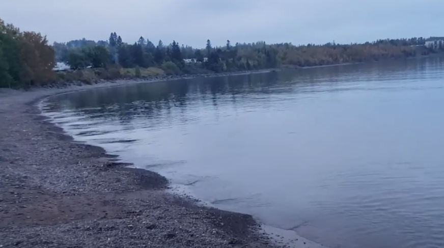
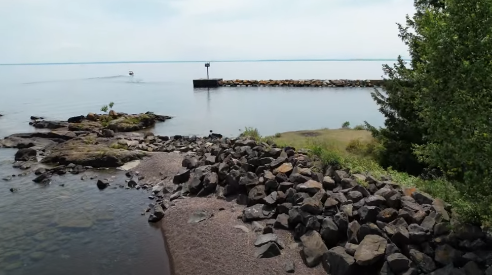
Tucked along Scenic Highway 61, the Buchanan Town Site Wayside offers visitors a fascinating look into one of the North Shore’s earliest settlements. Once a bustling hub of development and ambition, this site now stands as a historical marker, preserving the story of a town that rose and fell in just a few short years. Located on the lakeside, this well-maintained wayside provides stunning views of Lake Superior, an accessible walking path, and interpretive signage detailing the rich yet brief history of Buchanan.
A Once-Promising Settlement
Established in 1856 and named after President James Buchanan, the town of Buchanan was one of the few North Shore communities that made it beyond paper. During this time, speculation ran high that the region was rich in gold, silver, and copper, sparking interest from settlers and developers. Following the signing of the Second Treaty of La Pointe in 1854, in which much of the North Shore was ceded to the U.S. government, surveyors and town planners wasted no time laying out new settlements along Lake Superior’s rugged shoreline.
Buchanan’s fortunes quickly rose when, in 1857, the U.S. Land Office for the Northeast District of Minnesota was relocated from Duluth to this fledgling community. With the presence of the Land Office, Buchanan became a center of activity, boasting a hotel, a boarding house, several saloons, and a dock to accommodate small boats and steamers. For a brief moment, it seemed poised to become a permanent settlement on the North Shore.
Rapid Decline and the Birth of a Ghost Town
However, the prosperity of Buchanan was short-lived. Mineral exploration in the region failed to uncover the riches that many had hoped for, and the financial panic of 1858 plunged the nation into an economic downturn, halting investments and speculation. Without the influx of new settlers, the town struggled to survive. The final, unexpected blow came when it was discovered that the U.S. Land Office had been constructed on privately owned land. This costly mistake left officials no choice but to move the office back to Duluth in early 1859. With its primary institution gone, the town quickly emptied, leaving behind little more than the remnants of a settlement that had once brimmed with promise.
Visiting Buchanan Town Site Wayside
Today, visitors can stop at the Buchanan Town Site Wayside to reflect on this lost piece of North Shore history. The site is easily accessible from Highway 61, with a small parking area that accommodates up to ten vehicles. While there are no restrooms or picnic facilities, a newly constructed ADA-accessible crushed stone path allows for an easy stroll down to the historic marker, where an interpretive plaque details the story of Buchanan.
For those looking to explore further, an unofficial footpath leads down a steep embankment to the shoreline of Lake Superior. While not formally maintained, this route provides an opportunity to experience the lake up close and imagine what the settlers of Buchanan might have seen as they gazed across the vast waters. Whether stopping for a quick break or taking time to appreciate the area's historical significance, the Buchanan Town Site Wayside is a worthwhile stop for history enthusiasts and North Shore travelers alike.
Newsletter Signup
We've designed our clothing specifically for the outdoor enthusiast in mind.
Enjoy the stylish MN themed clothing that SOTAcap.com has to offer.
Signup to receive our newsletter for new releases!
Contact Us
Thank subscribing.
Look out for future promotions!
Please try again later.
Committed to Customer Service
Our help desk is open 24/7 so you can track your package, inquire about products and more.


